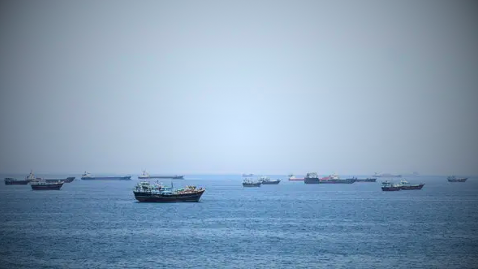
On 28 February 2026, the day the Iran war opened, commercial traffic through the Strait of Hormuz collapsed, and by 2 March no tanker inside the strait was broadcasting a trustworthy position. Six months later the waterway that carries roughly a fifth of the world's seaborne oil has become the longest sustained case of GNSS electronic warfare on public record, and it has degraded military and commercial navigation in equal measure.
Interference at scale
Windward, the maritime-intelligence firm, recorded more than 1,100 vessels hit by simultaneous GPS and AIS interference inside a single 24-hour window, with onboard systems placing ships at airports, over a nuclear power plant, and deep inside Iranian territory. Resecurity, which has tracked the conflict's cyber and electronic dimension, described it as the most extensive use of GPS spoofing and jamming ever recorded. The disruption did not fade after the opening weeks. On 21 April, Windward counted 296 vessels off Bandar Abbas with only 74 still transmitting AIS, a cooperation rate near 25 percent, and mapped at least 30 separate jamming clusters spread across Saudi, Kuwaiti, Emirati, Qatari, Omani, and Iranian waters.
Two mechanisms drove the collapse. Jamming drowns the faint satellite signal a receiver needs, and spoofing feeds it a fabricated position so the ship believes it is somewhere it is not. Layered on top, crews began switching off their own transponders to avoid being targeted, which stripped still more vessels from the tracking picture. A field investigation by Citrini Research, later echoed by several intelligence firms, estimated that AIS was underreporting real traffic through the strait by about half.
A problem for navies, not just shipowners
AIS began as a collision-avoidance and safety system, and over two decades navies, coalitions, and insurers came to rely on it for maritime domain awareness. Spoofing turns that shared picture into noise, which matters most where warships and merchant ships work the same crowded water. The United States opened an aerial campaign on 19 March to reopen the strait, imposed a naval blockade on 13 April, and launched an escort operation, Project Freedom, on 4 May that was paused within a day after a French-operated container ship was struck. MARAD's standing advisory instructed US-flagged vessels to keep 30 nautical miles clear of American warships to avoid being mistaken for a threat.
What an escort mission runs into
Analysts at RSIS argued that a credible escort coalition would need more than standard frigates, because the electronic degradation compounds the mine and fast-boat threats already in the water. The same jamming that pushes honest crews to run dark or broadcast false positions also erases the tracking data an escort force depends on to sort friend from adversary.
The picture six months on
By late August the strait had not returned to a legible state. Windward's operations center was still logging overnight dark transits and false ship-to-ship meetings, cases where two vessels appear to rendezvous at coordinates where neither one actually sat. War-risk underwriters and protection-and-indemnity clubs have begun buying commercial satellite imagery to confirm where a hull really was before paying a claim, since a ship's own AIS log has lost most of its evidentiary weight. On 24 August, Windward flagged four fresh dark transits through the strait's southern corridor overnight, including a tug that stayed dark for 22 hours and 28 minutes.
Reporting drawn from Windward, Resecurity, Fortune, RSIS, and USNI News.